Last official estimated population of Luna County was 25,116 (year 2014)[1]. This was 0.008% of total US population and 1.2% of total New Mexico state population. Area of Luna County is 2,965.4 mi² (=7680.2 km²), in this year population density was 8.47 p/mi². If population growth rate would be same as in period 2010-2014 (+0.02%/yr), Luna County population in 2026 would be 25,179 [0].
Historical population of Luna County for period 1890-2014 [1] , [2] , [3]:
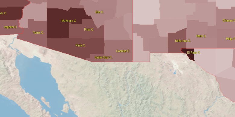
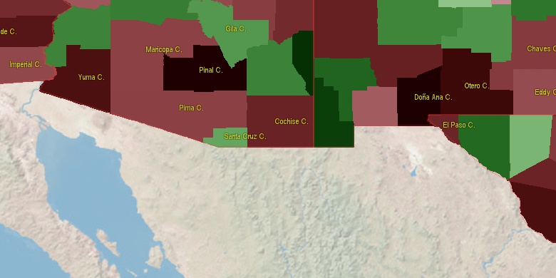
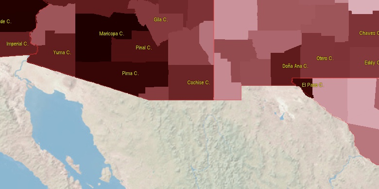
Estimated population for 2014[1]. Population density is in p./sq.mi [4]. Changes are for period 2010-2015. Value is %/year. Boundary lines are approx. 2012 [5]. Click on flag to hide it.
Population • Density • Changes • Legends • Position

[1890-1900] NAN %/yr
[1900-1910] +INF %/yr
[1910-1920] +12.11 %/yr
[1920-1930] -6.53 %/yr
[1930-1940] +0.33 %/yr
[1940-1950] +3.09 %/yr
[1950-1960] +1.18 %/yr
[1960-1970] +1.75 %/yr
[1970-1980] +2.9 %/yr
[1980-1990] +1.51 %/yr
[1990-2000] +3.27 %/yr
[2000-2005] +0.09 %/yr
[2005-2010] -0.01 %/yr
[2010-2014] +0.02 %/yr
Looking for settlements in Luna County? Visit this page: Settlements in Luna County, NM
Population of Luna County by age groups male (M) and female (F)[1b]
| Age Gr. | (M) | (F) | Total |
| 0 to 4 | 968 | 895 | 1,863 |
| 5 to 9 | 891 | 858 | 1,749 |
| 10 to 14 | 879 | 864 | 1,743 |
| 15 to 19 | 861 | 863 | 1,724 |
| 20 to 24 | 846 | 775 | 1,621 |
| 25 to 29 | 760 | 673 | 1,433 |
| 30 to 34 | 651 | 620 | 1,271 |
| 35 to 39 | 576 | 603 | 1,179 |
| 40 to 44 | 620 | 633 | 1,253 |
| 45 to 49 | 653 | 663 | 1,316 |
| 50 to 54 | 763 | 735 | 1,498 |
| 55 to 59 | 670 | 794 | 1,464 |
| 60 to 64 | 723 | 711 | 1,434 |
| 65 to 69 | 724 | 786 | 1,510 |
| 70 to 74 | 607 | 667 | 1,274 |
| 75 to 79 | 568 | 503 | 1,071 |
| 80 to 84 | 344 | 375 | 719 |
| 85+ | 240 | 311 | 551 |
Luna County resident population estimates by Sex, Race, and Hispanic Origin[1b]. For full list of abbrevations see: population.us/about page.
| Race | Male | Female | Total |
| WAC | 11702 | 11713 | 23,415 |
| WA | 11541 | 11530 | 23,071 |
| H | 7979 | 8025 | 16,004 |
| HWAC | 7632 | 7693 | 15,325 |
| HWA | 7553 | 7612 | 15,165 |
| NH | 4365 | 4304 | 8,669 |
| NHWAC | 4070 | 4020 | 8,090 |
| NHWA | 3988 | 3918 | 7,906 |
| IAC | 403 | 398 | 801 |
| IA | 296 | 276 | 572 |
| BAC | 266 | 259 | 525 |
| HIAC | 252 | 245 | 497 |
| BA | 217 | 205 | 422 |
| HIA | 199 | 190 | 389 |
| TOM | 176 | 197 | 373 |
| NHIAC | 151 | 153 | 304 |
| NHBAC | 142 | 140 | 282 |
| AAC | 123 | 125 | 248 |
| HBAC | 124 | 119 | 243 |
| NHBA | 117 | 112 | 229 |
| NHTOM | 91 | 109 | 200 |
| HBA | 100 | 93 | 193 |
| AA | 94 | 95 | 189 |
| NHIA | 97 | 86 | 183 |
| NHAAC | 86 | 90 | 176 |
| HTOM | 85 | 88 | 173 |
| NHAA | 71 | 75 | 146 |
| HAAC | 37 | 35 | 72 |
| NAC | 30 | 36 | 66 |
| HNAC | 22 | 24 | 46 |
| NA | 20 | 26 | 46 |
| HAA | 23 | 20 | 43 |
| HNA | 19 | 22 | 41 |
| NHNAC | 8 | 12 | 20 |
| NHNA | 1 | 4 | 5 |
• El Paso County population
92.9 mi,  108°
108°
• Doña Ana County
54.7 mi,  77°
77°
• Cochise County
121.2 mi,  258°
258°
• Otero County
118.1 mi, 76°
• Grant County
52.9 mi,  315°
315°
• Socorro County
133.3 mi,  20°
20°
• Sierra County
72.3 mi,  26°
26°
• Greenlee County
113.4 mi,  309°
309°
• Hidalgo County
62.1 mi,  251°
251°
• Catron County
124.4 mi,  342°
342°
[0] Calculated by population.us from last known population growth rate, not official data.
[1] County population - 2014, archived from the original, retrieved 02/23/2016
[1b] Annual County Resident Population Estimates by Age, Sex, Race, and Hispanic Origin, (used only data for 2014) archived from the original, retrieved 02/23/2016
[2] County population - 2000-2010, archived from the original, retrieved 02/23/2016
[3] Population of States and Counties of the United States: 1790 to 1992, PDF, 15 Mb, census.gov, retrieved 02/23/2016
[4] County area, latitude longitude data, retrieved 02/23/2016
[5] County boundaries, CSV files on boundaries.us, retrived 03/18/2016
*Grant, Dona Ana New Mexico Notes
Page generated in 0.013 seconds© 2016 population.us | Terms of use | Contact