Last official estimated population of Chouteau County was 5,811 (year 2014)[1]. This was 0.002% of total US population and 0.6% of total Montana state population. Area of Chouteau County is 3,996.6 mi² (=10351.2 km²), in this year population density was 1.45 p/mi². If population growth rate would be same as in period 2010-2014 (-0.01%/yr), Chouteau County population in 2026 would be 5,805 [0].
Historical population of Chouteau County for period 1870-2014 [1] , [2] , [3]:
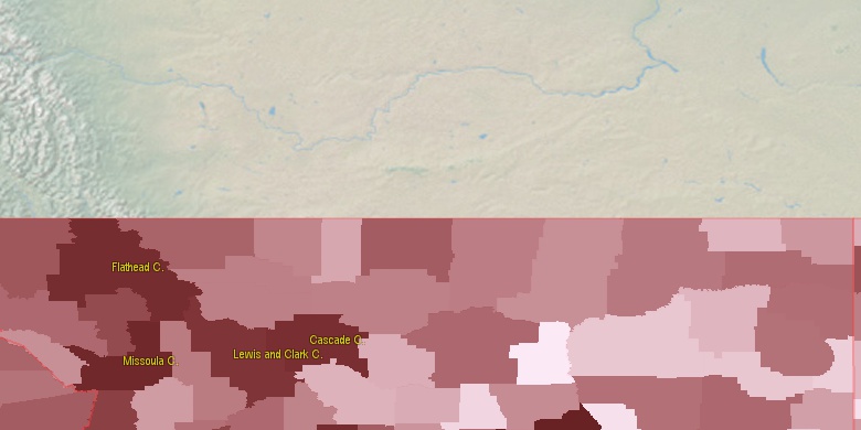
Estimated population for 2014[1]. Population density is in p./sq.mi [4]. Changes are for period 2010-2015. Value is %/year. Boundary lines are approx. 2012 [5]. Click on flag to hide it.
Population • Density • Changes • Legends • Position

[1870-1880] +19.45 %/yr
[1880-1890] +4.48 %/yr
[1890-1900] +8.75 %/yr
[1900-1910] +4.6 %/yr
[1910-1920] -4.32 %/yr
[1920-1930] -2.44 %/yr
[1930-1940] -1.64 %/yr
[1940-1950] -0.48 %/yr
[1950-1960] +0.52 %/yr
[1960-1970] -1.26 %/yr
[1970-1980] -0.6 %/yr
[1980-1990] -1.1 %/yr
[1990-2000] +0.9 %/yr
[2000-2005] -0.87 %/yr
[2005-2010] +0.37 %/yr
[2010-2014] -0.01 %/yr
Looking for settlements in Chouteau County? Visit this page: Settlements in Chouteau County, MT
Population of Chouteau County by age groups male (M) and female (F)[1b]
| Age Gr. | (M) | (F) | Total |
| 0 to 4 | 88 | 137 | 225 |
| 5 to 9 | 225 | 245 | 470 |
| 10 to 14 | 240 | 236 | 476 |
| 15 to 19 | 218 | 218 | 436 |
| 20 to 24 | 187 | 170 | 357 |
| 25 to 29 | 183 | 159 | 342 |
| 30 to 34 | 150 | 154 | 304 |
| 35 to 39 | 162 | 143 | 305 |
| 40 to 44 | 146 | 149 | 295 |
| 45 to 49 | 156 | 150 | 306 |
| 50 to 54 | 193 | 224 | 417 |
| 55 to 59 | 235 | 221 | 456 |
| 60 to 64 | 222 | 216 | 438 |
| 65 to 69 | 167 | 173 | 340 |
| 70 to 74 | 124 | 122 | 246 |
| 75 to 79 | 93 | 96 | 189 |
| 80 to 84 | 63 | 81 | 144 |
| 85+ | 62 | 86 | 148 |
Chouteau County resident population estimates by Sex, Race, and Hispanic Origin[1b]. For full list of abbrevations see: population.us/about page.
| Race | Male | Female | Total |
| NH | 2852 | 2913 | 5,765 |
| WAC | 2307 | 2323 | 4,630 |
| NHWAC | 2280 | 2283 | 4,563 |
| WA | 2266 | 2271 | 4,537 |
| NHWA | 2240 | 2233 | 4,473 |
| IAC | 612 | 666 | 1,278 |
| IA | 585 | 631 | 1,216 |
| NHIAC | 577 | 638 | 1,215 |
| NHIA | 550 | 605 | 1,155 |
| H | 62 | 67 | 129 |
| TOM | 42 | 54 | 96 |
| NHTOM | 41 | 52 | 93 |
| HWAC | 27 | 40 | 67 |
| HWA | 26 | 38 | 64 |
| HIAC | 35 | 28 | 63 |
| HIA | 35 | 26 | 61 |
| AAC | 22 | 22 | 44 |
| NHAAC | 22 | 22 | 44 |
| BAC | 12 | 19 | 31 |
| NHAA | 13 | 16 | 29 |
| AA | 13 | 16 | 29 |
| NHBAC | 11 | 18 | 29 |
| BA | 5 | 6 | 11 |
| NHNAC | 3 | 8 | 11 |
| NAC | 3 | 8 | 11 |
| NHBA | 5 | 5 | 10 |
| NA | 3 | 2 | 5 |
| NHNA | 3 | 2 | 5 |
| HTOM | 1 | 2 | 3 |
| HBAC | 1 | 1 | 2 |
| HBA | 0 | 1 | 1 |
| HNAC | 0 | 0 | 0 |
| HAAC | 0 | 0 | 0 |
| HNA | 0 | 0 | 0 |
| HAA | 0 | 0 | 0 |
• Cascade County population
58 mi,  227°
227°
• Hill County
53.7 mi,  16°
16°
• Fergus County
72.8 mi,  129°
129°
• Blaine County
77.3 mi,  61°
61°
• Pondera County
85.7 mi,  286°
286°
• Teton County
85.7 mi,  266°
266°
• Toole County
79.4 mi,  311°
311°
• Liberty County
54.1 mi,  329°
329°
• Judith Basin County
59.3 mi,  174°
174°
• Meagher County
92.7 mi,  194°
194°
[0] Calculated by population.us from last known population growth rate, not official data.
[1] County population - 2014, archived from the original, retrieved 02/23/2016
[1b] Annual County Resident Population Estimates by Age, Sex, Race, and Hispanic Origin, (used only data for 2014) archived from the original, retrieved 02/23/2016
[2] County population - 2000-2010, archived from the original, retrieved 02/23/2016
[3] Population of States and Counties of the United States: 1790 to 1992, PDF, 15 Mb, census.gov, retrieved 02/23/2016
[4] County area, latitude longitude data, retrieved 02/23/2016
[5] County boundaries, CSV files on boundaries.us, retrived 03/18/2016
Page generated in 0.019 seconds© 2016 population.us | Terms of use | Contact


