Last official estimated population of Ketchikan Gateway Borough was 13,536 (year 2014)[1]. This was 0.004% of total US population and 1.8% of total Alaska state population. Area of Ketchikan Gateway Borough is 6,653.6 mi² (=17232.7 km²), in this year population density was 2.03 p/mi². If population growth rate would be same as in period 2010-2014 (+0.11%/yr), Ketchikan Gateway Borough population in 2026 would be 13,715 [0].
Historical population of Ketchikan Gateway Borough for period 1960-2014 [1] , [2] , [3]:
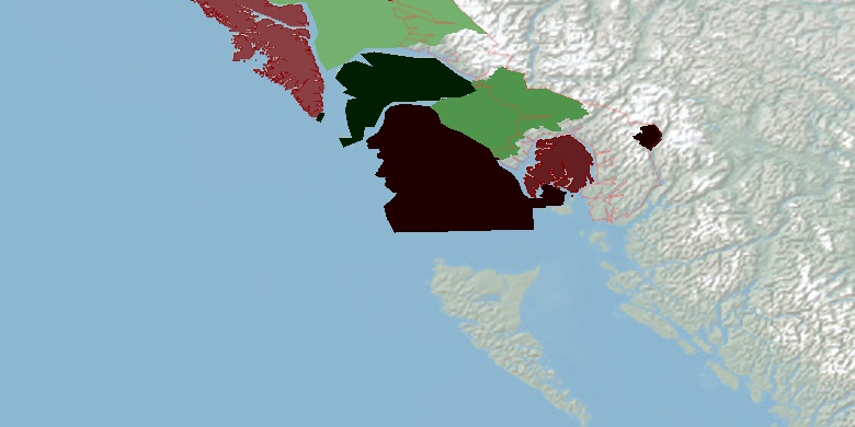
Estimated population for 2014[1]. Population density is in p./sq.mi [4]. Changes are for period 2010-2015. Value is %/year. Boundary lines are approx. 2012 [5]. Click on flag to hide it.
Population • Density • Changes • Legends • Position


[1960-1970] -0.03 %/yr
[1970-1980] +1.2 %/yr
[1980-1990] +2.03 %/yr
[1990-2000] +0.18 %/yr
[2000-2005] -1.12 %/yr
[2005-2010] +0.26 %/yr
[2010-2014] +0.11 %/yr
Looking for settlements in Ketchikan Gateway Borough? Visit this page: Settlements in Ketchikan Gateway Borough, AK
Population of Ketchikan Gateway Borough by age groups male (M) and female (F)[1b]
| Age Gr. | (M) | (F) | Total |
| 0 to 4 | 439 | 451 | 890 |
| 5 to 9 | 399 | 408 | 807 |
| 10 to 14 | 475 | 405 | 880 |
| 15 to 19 | 455 | 401 | 856 |
| 20 to 24 | 548 | 396 | 944 |
| 25 to 29 | 502 | 446 | 948 |
| 30 to 34 | 504 | 430 | 934 |
| 35 to 39 | 409 | 383 | 792 |
| 40 to 44 | 436 | 408 | 844 |
| 45 to 49 | 428 | 474 | 902 |
| 50 to 54 | 624 | 524 | 1,148 |
| 55 to 59 | 570 | 569 | 1,139 |
| 60 to 64 | 518 | 465 | 983 |
| 65 to 69 | 356 | 340 | 696 |
| 70 to 74 | 236 | 206 | 442 |
| 75 to 79 | 142 | 114 | 256 |
| 80 to 84 | 69 | 90 | 159 |
| 85+ | 68 | 99 | 167 |
Ketchikan Gateway Borough resident population estimates by Sex, Race, and Hispanic Origin[1b]. For full list of abbrevations see: population.us/about page.
| Race | Male | Female | Total |
| NH | 6816 | 6294 | 13,110 |
| WAC | 5557 | 5024 | 10,581 |
| NHWAC | 5268 | 4794 | 10,062 |
| WA | 4978 | 4455 | 9,433 |
| NHWA | 4732 | 4261 | 8,993 |
| IAC | 1470 | 1460 | 2,930 |
| NHIAC | 1373 | 1359 | 2,732 |
| IA | 956 | 949 | 1,905 |
| NHIA | 894 | 880 | 1,774 |
| AAC | 643 | 656 | 1,299 |
| NHAAC | 626 | 637 | 1,263 |
| TOM | 631 | 623 | 1,254 |
| NHTOM | 588 | 583 | 1,171 |
| AA | 515 | 524 | 1,039 |
| NHAA | 510 | 517 | 1,027 |
| H | 362 | 315 | 677 |
| HWAC | 289 | 230 | 519 |
| HWA | 246 | 194 | 440 |
| BAC | 126 | 91 | 217 |
| NHBAC | 119 | 82 | 201 |
| HIAC | 97 | 101 | 198 |
| HIA | 62 | 69 | 131 |
| BA | 79 | 43 | 122 |
| NHBA | 74 | 39 | 113 |
| NAC | 51 | 44 | 95 |
| NHNAC | 49 | 40 | 89 |
| HTOM | 43 | 40 | 83 |
| HAAC | 17 | 19 | 36 |
| NA | 19 | 15 | 34 |
| NHNA | 18 | 14 | 32 |
| HBAC | 7 | 9 | 16 |
| HAA | 5 | 7 | 12 |
| HBA | 5 | 4 | 9 |
| HNAC | 2 | 4 | 6 |
| HNA | 1 | 1 | 2 |
• Juneau City and Borough population
232.8 mi,  330°
330°
• San Juan County
587.5 mi,  144°
144°
• Sitka City and Borough
202.8 mi,  306°
306°
• Prince of Wales-Hyder Census Area
81.9 mi,  281°
281°
• Petersburg Census Area
136.1 mi, 327°
• Haines Borough
302.2 mi, 326°
• Wrangell City and Borough
61.8 mi,  324°
324°
• Hoonah-Angoon Census Area
272.1 mi, 318°
• Skagway Municipality
325.2 mi, 331°
• Yakutat City and Borough
457.9 mi, 313°
[0] Calculated by population.us from last known population growth rate, not official data.
[1] County population - 2014, archived from the original, retrieved 02/23/2016
[1b] Annual County Resident Population Estimates by Age, Sex, Race, and Hispanic Origin, (used only data for 2014) archived from the original, retrieved 02/23/2016
[2] County population - 2000-2010, archived from the original, retrieved 02/23/2016
[3] Population of States and Counties of the United States: 1790 to 1992, PDF, 15 Mb, census.gov, retrieved 02/23/2016
[4] County area, latitude longitude data, retrieved 02/23/2016
[5] County boundaries, CSV files on boundaries.us, retrived 03/18/2016
1960-70: Ketchikan Alaska Notes
Page generated in 0.013 seconds© 2016 population.us | Terms of use | Contact